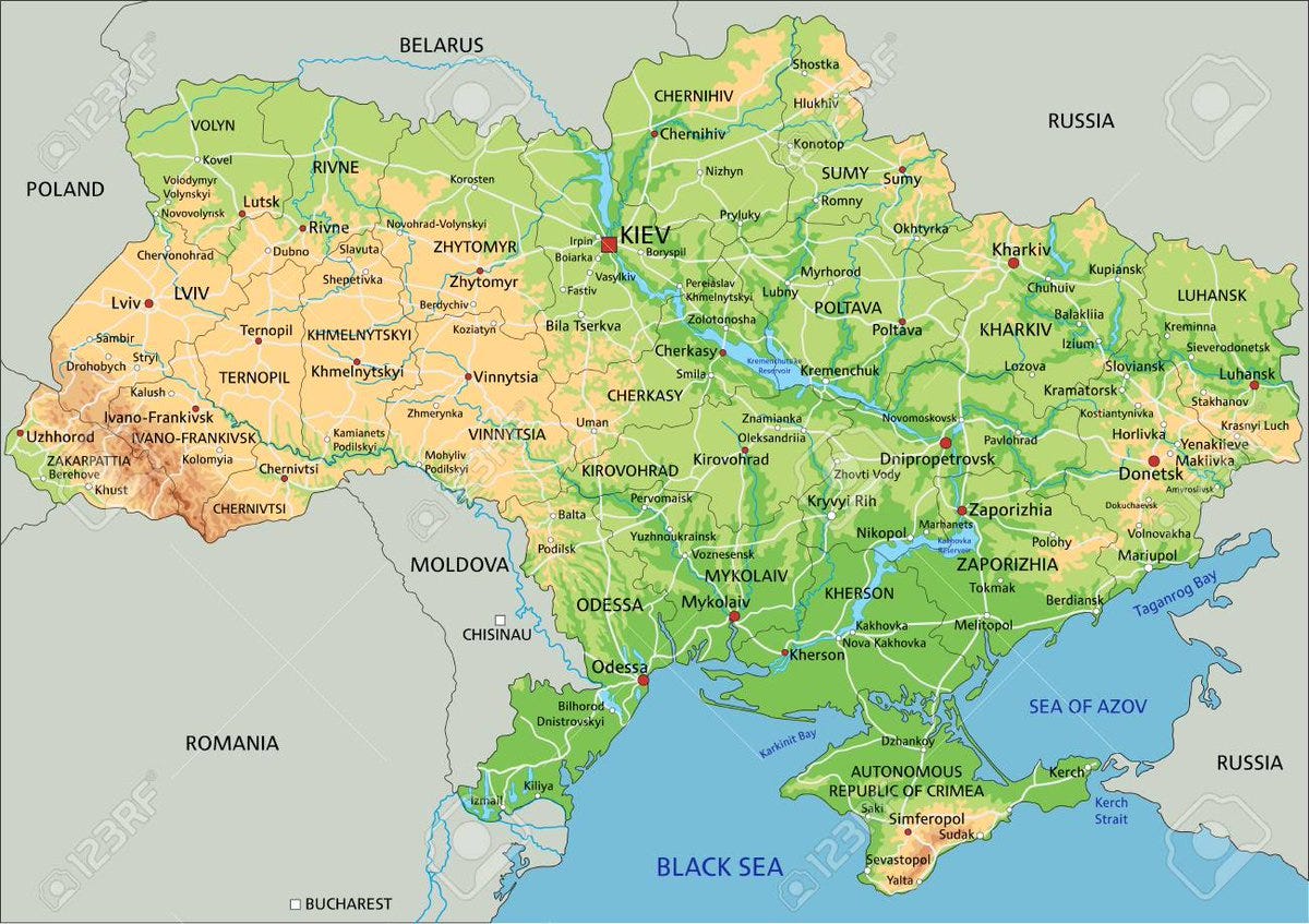
Now let's cover the Ukrainian geography. First, as we can see, Ukraine is a very flat country. It has mountains only in the very west, in Carpathians, and in the very south, on the southern cost of Crimea. The rest of the country is flat as a pancake. What does it mean? 🧵
Well, geography-wise most of Ukraine is a part of the Eurasian Steppe. The Steppe stretches continuously from the Altai mountains to the Carpathians, with an exclave in Hungary. That's why Ukraine historically lied straight on the way of nomads, migrating from Asia westward
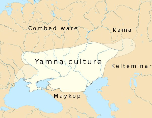
When talking of nomadic invasions of Europe we recall more recent Mongols, Turks, Magyars. And yet, nearly all Europeans might share the legacy of a more ancient nomadic wave - the Indo-Europeans. Originating in the steppes, adjacent to the Black and the Caspian Seas, the Indo-Europeans expanded southward and westward.
Indo-European conquest was extremely violent, far surpassing whatever waves came later. While the actual extent of slaughter varied from region to region, much of the Old European population had been exterminated. It is noteworthy that the pre-invasion languages survived only in the mountains of Pyrenees and Caucasus. Everything else had been either wiped out by the invaders or assimilated by their descendants.
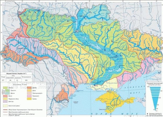
The nomadic waves were a constant factor of Ukrainian history till the 18th c. Another factor to be considered were rivers. Looking at the map of Ukraine we might think it possesses uniquely good network of natural communications. So many rivers and all flowing to the World Ocean
Unlike Russia for example. As you see, Central Russia where the Muscovite state originated, belongs to the endorheic basin of the Caspian Sea. Smaller rivers flow into Volga, Volga flows into Caspian and from Caspian, well, we aren't getting anywhere. No connection with the ocean
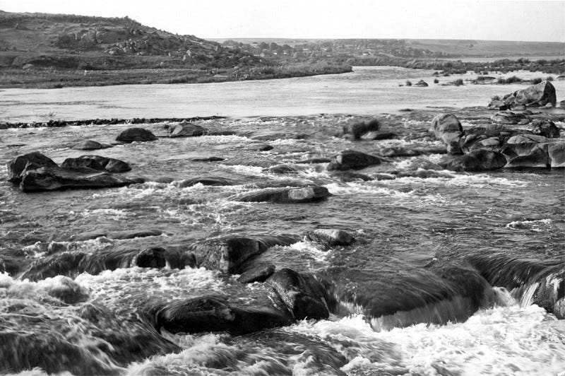
And yet, it's not that simple. Although Ukraine has tons of rivers flowing into the World Ocean, they were covered with rapids. That's for example how Dnieper, the Ukrainian largest river used to look like till 1930s. Nine large rapids obstructed the navigation
You had to unload your boats, put them and all the goods on your backs and carry all of this past the rapid. Repeat nine times for all the nine rapids. That's how Byzantine emperor Constantine Porphyrogenitus described Dnieper navigation in his treatise De Administrando Imperio
Keep reading with a 7-day free trial
Subscribe to kamilkazani to keep reading this post and get 7 days of free access to the full post archives.


